
Why Your Project Needs an Expert Engineering Surveyor in South Africa
When it comes to construction, infrastructure, or civil engineering projects, accurate data is essential. That’s where expert engineering surveyors come in. If you’re searching for an expert engineering surveyor in South Africa, Trail Surveys is your trusted partner. We deliver precision and professionalism from the ground up.
In this guide, we’ll explain what engineering surveyors do. We’ll also show you why their work is crucial and how our team helps projects run smoothly—from concept to completion.
What Does an Engineering Surveyor Do?
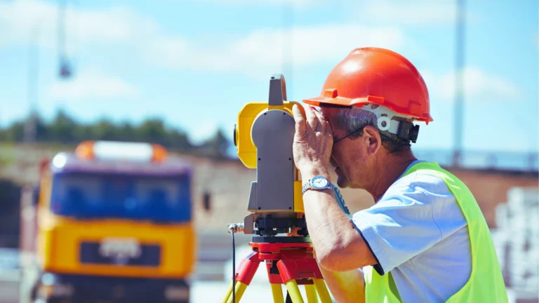
An engineering surveyor plays a vital role in the planning, design, and construction phases of infrastructure and development projects. Their job is to provide precise spatial data that supports engineers, architects, and construction teams.
At Trail Surveys, our engineering surveyors in South Africa use cutting-edge tools and technology. Ultimately, this ensures that every project starts and ends with confidence.
Core Engineering Surveying Services
We offer a full suite of services tailored to your project’s specific needs. For example, here’s what you can expect when you work with our team.
Site Setting Out
Site setting out involves physically marking the exact locations of proposed buildings, roads, or infrastructure. This is all based on approved design plans.
At Trail Surveys, we use advanced GNSS and total station technology to ensure absolute accuracy. Our clients benefit from:
- Reduced construction errors
- Precise alignment with design specifications
- Improved coordination between teams
As-Built Surveys
As-built surveys verify that a project has been built according to the original design plans. These surveys are essential for project handovers and compliance checks. They verify dimensions and structure locations. They also document completed work for future reference.
Our detailed as-built surveys meet regulatory requirements and help close out projects efficiently.
Volume & Stockpile Calculations
Accurate volume calculations and stockpile measurements are critical for managing materials and earthworks. We use drone-based photogrammetry and 3D modelling to:
- Improve material tracking
- Support budgeting and logistics
- Reduce waste and delays
Drone & LiDAR Mapping
Our drone and LiDAR surveying capabilities enhance data quality and efficiency. These technologies are especially useful for:
- Mapping large or complex terrains
- Capturing high-resolution topographic data
- Creating detailed digital terrain models (DTMs)
As a result, Trail Surveys remains a leader in geomatics innovation in South Africa.
Why Use a Professional Engineering Surveyor?
Hiring a qualified engineering surveyor ensures every step of your project is built on reliable data. The benefits include:
- Saving time by reducing rework caused by errors.
- Avoiding costly mistakes in layout and materials.
- Ensuring compliance with municipal and legal standards.
- Improving project coordination and workflow.
In conclusion, choosing the right surveyor early in the project leads to better outcomes and fewer risks down the line.
At Trail Surveys, we recently completed a large-scale mining survey project that required a combination of technologies. We used Static GPS to establish our core control points across the site. As a result, this provided a highly accurate base for all subsequent measurements. We then used RTK for the day-to-day fieldwork, allowing our team to collect data quickly and efficiently. Therefore, we were able to deliver a precise survey on time and within budget.
Conclusion
Engineering surveying is the foundation of successful infrastructure development. From the initial planning phase to final verification, Trail Surveys provides engineering surveyors South Africa can rely on for quality, accuracy, and professionalism.
Whether you’re developing infrastructure, managing earthworks, or starting a new build, we are here to support your success.
Contact Trail Surveys to speak to one of our engineering surveying experts and get a tailored quote for your next project.

How can we help you?
Trail Surveys offers comprehensive land surveying, topographic mapping, and geomatics solutions across various sectors. Contact us today via phone, email, or our website, and one of our expert surveyors will promptly get in touch for a personalized consultation.