
Laser Scanning in Modern Mining Projects
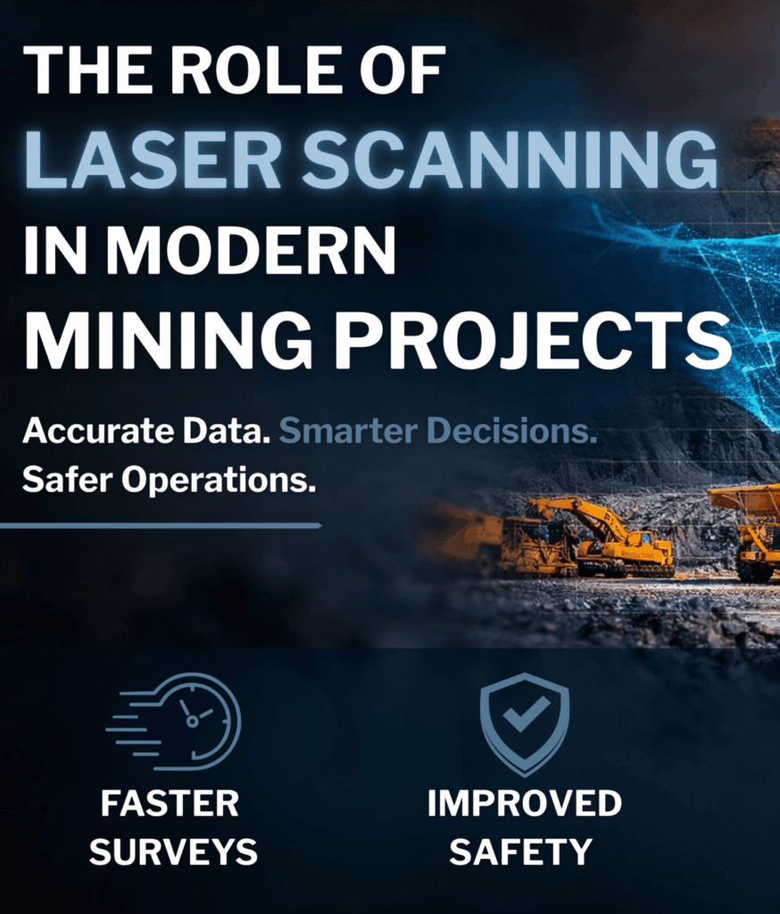
5 Ways Laser Scanning is Changing the Mining Industry Did you know? Mining operations face constant pressure to improve productivity while maintaining strict safety standards. Traditional surveying methods can be time-consuming, disruptive to operations, and in some cases expose survey teams to hazardous environments. Laser scanning is transforming how mining sites are surveyed, monitored, and […]


