How Accurate Surveying Reduces Risk in Property Development
Property development is often associated with architecture, construction, and design – but long before construction begins, accurate surveying plays a critical role in determining whether ...

Laser Scanning in Modern Mining Projects
5 Ways Laser Scanning is Changing the Mining Industry Did you know? Mining operations face constant pressure to improve productivity while maintaining strict safety standards. ...

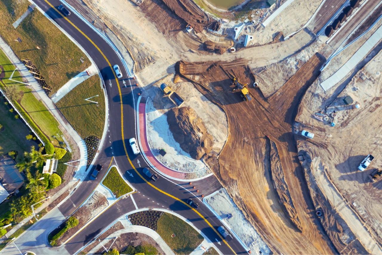
How Survey Data Supports Infrastructure Feasibility Studies in South Africa
Infrastructure feasibility studies in South Africa rely on accurate survey data for terrain modelling, boundary verification and cost estimation. Learn why it matters.
LiDAR vs Traditional Surveying: Which Is Right for Your Infrastructure Project
LiDAR vs traditional surveying: discover which method is best for your infrastructure project in South Africa. Compare accuracy, cost, speed and compliance.
Why Construction Projects Fail Due to Poor Survey Data
Construction layout work showing the impact of poor survey data on building alignment

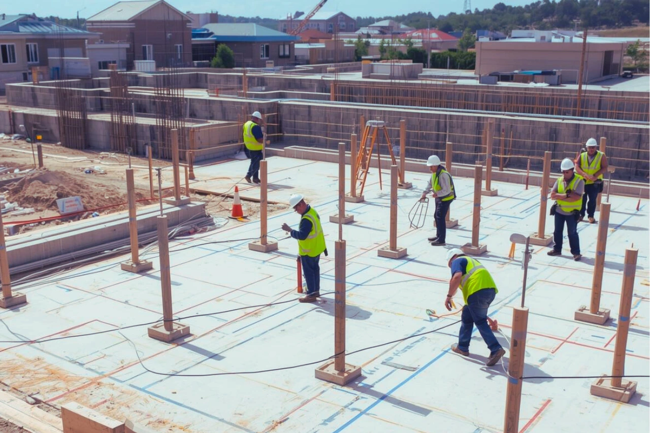
What Survey Data Is Required Before Construction Starts?
Construction survey data being established through control points before construction begins