How Accurate Surveying Reduces Risk in Property Development
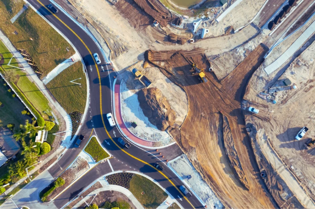
Property development is often associated with architecture, construction, and design – but long before construction begins, accurate surveying plays a critical role in determining whether a project runs efficiently or faces costly delays. From identifying legal boundaries to supporting township establishment and sectional title registration, surveying provides the spatial foundation on which developments are planned […]
How Accurate Surveying Reduces Risk in Property Development Read More »