
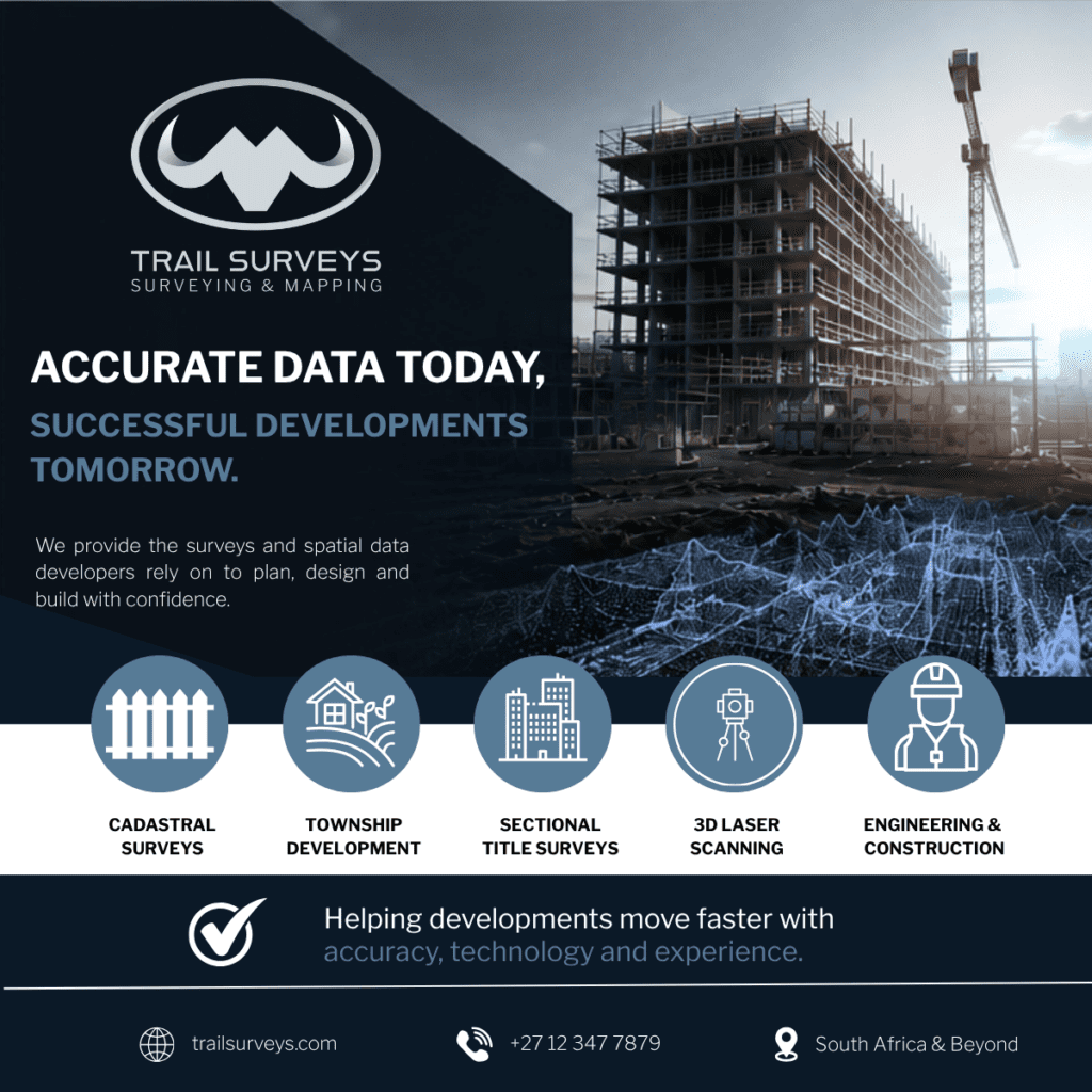
Property development is often associated with architecture, construction, and design – but long before construction begins, accurate surveying plays a critical role in determining whether a project runs efficiently or faces costly delays.
From identifying legal boundaries to supporting township establishment and sectional title registration, surveying provides the spatial foundation on which developments are planned and executed.
As developments become larger and more complex, the importance of accurate geomatics data continues to grow.
What Is a Cadastral Survey?
A cadastral survey is a legal land survey used to define and confirm property boundaries. These surveys form the basis of land ownership and are essential for subdivisions, consolidations, servitudes, and development approvals.
Without accurate cadastral information, developers may encounter:
- Boundary disputes
- Approval delays
- Incorrect land allocations
- Construction setbacks
- Registration complications
Cadastral surveys ensure that developments are built within the correct legal boundaries and comply with regulatory requirements.
Why Boundary Verification Matters Before Development Starts
One of the most common causes of delays during development projects is inaccurate or outdated boundary information.
Boundary verification surveys help confirm:
- The exact extent of a property
- Existing encroachments
- Fence line positions
- Alignment with Surveyor General records
Identifying these issues early allows developers, planners, and engineers to avoid expensive corrections later in the project lifecycle.
The Role of Surveying in Township Developments
Township developments involve multiple phases, approvals, and professional teams working together simultaneously.
Surveying supports township developments by assisting with:
- Development layouts
- Infrastructure positioning
- Engineering coordination
- Erf subdivision planning
- Registration processes
Because township developments involve both legal and physical planning components, accurate survey information becomes essential for coordination between consultants, municipalities, and contractors.
Understanding Sectional Title Surveys
Sectional title developments continue to grow in popularity within residential and mixed-use property markets.
A sectional title survey involves measuring and defining individual sections within a development, such as apartments, office units, or commercial spaces.
Accurate sectional title information is important because it affects:
- Property registration
- Ownership allocation
- Participation quotas
- Future property transfers
- Compliance with legal requirements
Errors during this stage can create significant administrative and legal complications later on.
How Modern Technology Is Changing Surveying
Surveying has evolved significantly over the past decade. Modern geomatics technologies now allow survey teams to capture highly accurate spatial data faster and more efficiently than traditional methods alone.
Technologies commonly used within modern developments include:
- Terrestrial 3D laser scanning
- Mobile laser scanning
- Aerial LiDAR
- RTK GPS systems
- Digital terrain modelling
These technologies help create highly detailed digital representations of sites, allowing engineers, architects, and developers to improve planning accuracy and identify potential challenges earlier.
Why Accurate Spatial Data Reduces Project Risk
In development projects, inaccurate information often leads to delays, redesigns, additional costs, and coordination issues.
Reliable survey information helps teams:
- Improve planning accuracy
- Reduce rework
- Improve construction coordination
- Streamline approvals
- Minimise legal and boundary risks
As projects become more data-driven, accurate spatial information is becoming one of the most valuable tools within the property development process.
The Future of Property Development Is Data-Driven
Modern developments rely on collaboration between planners, engineers, architects, contractors, and survey professionals. Accurate spatial data allows these teams to work more efficiently and make informed decisions throughout the project lifecycle.
As urban expansion and infrastructure development continue to grow across South Africa, surveying and geomatics will remain essential components of successful developments.
To learn more about professional geomatics and surveying solutions, visit Trail Surveys.